Nambe Badlands Trailhead
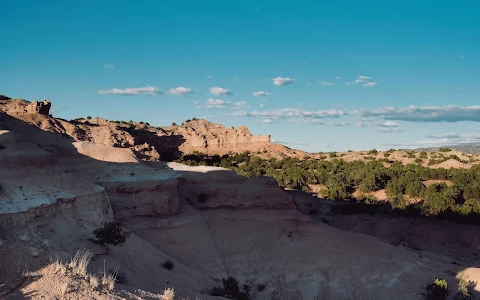
Hiking area👍👍 This trail is so beautiful and quiet. If you never been on this trail before I suggest you get Alltrails app. If I didn't have that I know I would be still lost in those mountains 🤣. It is a little over 5 miles with over 6,000 feet elevation. Make sure you go in the early morning because there is n... People often mention trail,
Address
High Rd to Taos Near, Nambe, NM 87506, United States
Rating on Google Maps
4.60 (13 reviews)Open on Google Maps