5/5 INGRID P. 3 years ago on Google • 112 reviews
Wednesday
March
spring
hiking
@
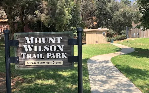
Mt.Wilson
Trail
from
Sierra
Madre
(from
Mount
Wilson
Trail
park)
early
morning.
I
started
the
trail
at
9
AM
and
got
to
the
top
of
the
mt.
at
2:30
pm;
and
I
got
to
spend
30min
in
there,
because
everything
was
closed,
😒include
an
observatory,
restroom,
and
cafe
shop.
I
arrived
around
8:35am
and
i
used
the
bathroom
in
the
park.
I
park
my
car
on
the
street
,
than
I
start
walking
to
the
a
residential
street
which
headed
to
the
trail
entrance.
The
trail
was
really
pretty,
gorgeous
views,
you
can
see
LA
buildings’s
,
the
trail
is
all
up
hill
😒so
when
you
come
back
it’s
all
down
hill.🤭.
This
trail
definitely
is
one
of
my
top
5
for
the
area,
and
for
views,
and
the
"trail"
oh
yes!
it
packs
quite
an
incline
on
the
way
up
.
The
way
down
isn’t
too
bad.
Returning
was
more
easier
than
going
to
the
top
of
the
mt..
The
trail
was
mostly
shady
and
cool
breeze
made
my
hike
more
enjoyable
but
after
3miles
away
from
the
start
point
;
the
first
3miles
doesn't
have
trees,
no
shade
at
all.
🌞After
3miles
you
will
be
inside
the
mountains
beautiful
trees,
🪴🌱🌿🌾.
The
trail
is
not
difficult,
at
all
and
I
make
15.35
miles,
around
trip.
I
reach
the
top
of
the
mt
Wilson
observatory
after
8miles
remember
going
up
is
making
more
miles
than
going
down,
after
7
miles
you
will
see
a
road
they
call
"toll
road"
or
the
trail,
on
the
right
hand,
I
used
the
road
to
walk
all
way
to
the
observatory
was
easy
for
me
,
but
was
closed
to
the
public",
but
you
can
used
the
trail
on
you
right
hand
,
is
hill
up,
that
trail
will
go
to
the
solar
tower,
and
the
telescope,
the
trail
is
well
maintained
very
clean
,no
graffiti.
Enjoy!
PLEASE
KEEP
IT
CLEAN
THIS
TRAIL
,
PLEASE
DON'T
SIGH
YOUR
STUPI
NAME
ON
IT
ROCKS
,
NO
GRAFFITI
PLEASE.
5 people found this review helpful 👍