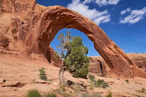
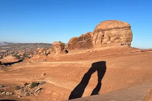
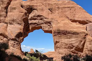
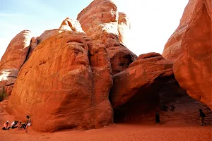
Gemini Bridges image

Gemini Bridges

Hiking area Off roading area

👍👍 WOW is the best way to describe the view here! Short hike from the parking area! Found this review helpful? Give us a thumbs up and hit that follow button to see more reviews! People often mention trail, parking, bridges,


Address

Moab, UT 84532

Rating on Google Maps

4.90 (409 reviews)

Open on Google Maps

Working Hours

  • Tuesday: Open 24 hours
  • Wednesday: Open 24 hours
  • Thursday: Open 24 hours
  • Friday: Open 24 hours
  • Saturday: Open 24 hours
  • Sunday: Open 24 hours
  • Monday: Open 24 hours

Featured Reviews


Frequently mentioned in reviews: trail (7) parking (6) bridges (6)
Reviews are sorted by relevance, prioritizing the most helpful and insightful feedback at the top for easier reference.
  • 5/5 JC & Tammy RV living (Living on the r. 1 year ago on Google • 464 reviews
    WOW is the best way to describe the view here! Short hike from the parking area! Found this review helpful? Give us a thumbs up and hit that follow button to see more reviews!
    2 people found this review helpful 👍

  • 5/5 Walter R. 7 months ago on Google • 1067 reviews
    What a stunning place. After a short hike from the trailhead you can enjoy an amazing view. Parking is available at the trailhead.
    1 person found this review helpful 👍

  • 5/5 Strangers' G. 11 months ago on Google • 295 reviews
    We had a hell of a time getting out here, but the Gemini Bridges are everything they promised to be. Don't follow trail guides/Google maps/regular maps from 313 unless you've thoroughly checked their accuracy. We had all 3 and ended up on a mountain bike trail in our truck. Then we got better directions from a local and found it straight off. The ride from the big Gemini Bridges parking lot is the rough side, a very narrow one-lane dirt track with a steep drop and slick rock as you start. The dirt road from 313 is much gentler if you can find the right turn-off. The actual walk to the arches is very easy and they're amazing. You can walk very securely over either one.
    1 person found this review helpful 👍

  • 5/5 Diana S. 1 year ago on Google • 284 reviews
    Beautiful and very interesting. We tried to make it down to the dispersed camping area but our car couldn’t make it so we turned around. But we did walk around a bit and took some other roads just for extra sight seeing and caught the sunset. Fairly neat place.
    1 person found this review helpful 👍

  • 5/5 Melissa Gonzalez (. 2 years ago on Google • 195 reviews
    Firstly, super easy walk. Not strenuous or far. Not ADA accessible. Talk about O.M.G!! We parked and walked to the right side of the parking lot and thought that was gorgeous! Insane how the wind and earth carves out these rows of rock formations! Then we go to the left side, more near the parking lot. WOW we were awed and terrified of the edges! Of course we had to walk on the bridges! It is gorgeous and truly incredible that this is real and tangible. Jaw dropping experience. Must see!
    1 person found this review helpful 👍

  • 5/5 Tom A. 1 year ago on Google • 99 reviews
    Charming bridges and other geological features near Moab, Utah. The road is rough, but the 300 yard hike from the parking lot to the top of the bridges is fairly easy. Just follow the green paint-marked trail or you might miss the flat-topped bridges. Awesome views even in November when we visited. For the more adventurous at heart, you can follow Bull Canyon road to different parking lot and then hike up almost to the bottom of bridges from down below. The views are completely different down below looking up. Note that the upper and lower trails do not connect.
    1 person found this review helpful 👍

  • 5/5 Fernando G. 4 months ago on Google • 427 reviews
    Great off-road route. The bridges are incredible so are the scenic views.

  • 5/5 Anelisa C. 1 year ago on Google • 206 reviews
    The road to it is not bad. Preferable a 4wd, but I saw "regular cars" there. Very easy trail. Follow the green signs on the ground.

  • 5/5 Chris G. 8 months ago on Google • 202 reviews
    Fun trail, great views, some moderate climbs, bumpy roads, good time.

  • 5/5 Kodi L. 7 months ago on Google • 34 reviews
    Really fun trail! I think chicken corners is my favorite because of the view at the end of the trail, but this is second place. I like getting out and walking over to the the scenic area. Highly recommend hitting this one! Have fun :)


Open on Google Maps

Amenities


  • Pets
    • ✓️ Dogs allowed
  • Activities
    • ✓️ Hiking
  • Accessibility
    • ✗ Wheelchair accessible entrance
    • ✗ Wheelchair accessible parking lot

Trends


Last updated:

Similar Hiking areas nearby

Corona Arch image
1
Corona Arch
Scenic spot
Accessible via a 1.5-mi. hiking trail with cables, this red sandstone arch is a popular photo spot.
4.90 (937 reviews)
Delicate Arch Trailhead image
2
Delicate Arch Trailhead
Hiking area
👍 An absolute awesome trail up to the delicate arch. The views along the way are great and the end of the hike along the rocks to the arch is very cool. The round trip is around three miles with 500+ feet of elevation gain but mostly it's along smooth rock with a few steps. The hike is best to get...
4.90 (928 reviews)
Devil's Garden Trailhead image
3
Devil's Garden Trailhead
Hiking area
Starting point for a well-used, partly strenuous loop trail to several prominent sandstone features.
4.90 (927 reviews)
Sand Dune Arch image
4
Sand Dune Arch
Scenic spot
Sandstone formation with a shaded, ground-level arch, accessible via a beachlike trail of red sand.
4.90 (774 reviews)
Balanced Rock image
5
Balanced Rock
Scenic spot
Landmark featuring a huge sandstone block appearing to balance precariously on a thin rock column.
4.80 (629 reviews)
Last updated:
()