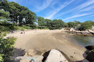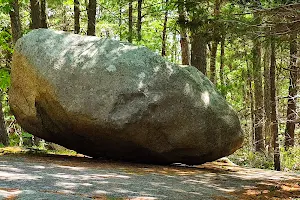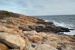
Red Rocks Conservation Area
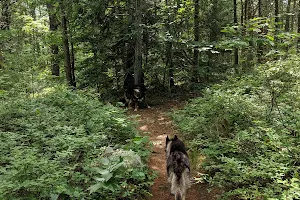
Park😐 Trail markers are spotty. I went off the Red trail a few times and back-tracked. I never made it to the reservoir because of the lack of markers. And I didn’t realize until the end that the Greenway Walking Path is actually the gas pipeline corridor. This is important because you can start from the... People often mention hike,
Address
44B Forest Ln, Gloucester, MA 01930
Contact
(774) 225-2657Rating on Google Maps
4.70 (40 reviews)Open on Google Maps