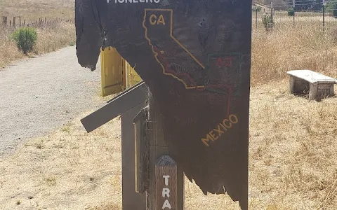
Trailhead for Juan Bautista de Anza National Historic Trail
Hiking areaStart of a walk running through Arizona & California, following the route of 18th-century settlers. People often mention trail, miles, hike,
Address
Old Stage Coach Road Closed to Vehicluar Traffic, San Juan Bautista, CA 95045, United States
Website
Contact
+1 510-817-1323Rating on Google Maps
4.70 (96 reviews)Open on Google Maps
Working Hours
- Monday: 10 am to 5 pm
- Tuesday: 10 am to 5 pm
- Wednesday: 10 am to 5 pm
- Thursday: 10 am to 5 pm
- Friday: 10 am to 5 pm
- Saturday: 10 am to 5 pm
- Sunday: 10 am to 5 pm