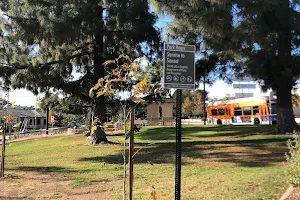
Rubio Canyon Trailhead
Tourist attraction • Hiking areaSteep & rugged mile-long canyon trail following a disused railroad past waterfalls. People often mention trail, hike, water,
Address
Mount Lowe Railway Trail, Altadena, CA 91001
Website
Rating on Google Maps
4.50 (169 reviews)Open on Google Maps
Working Hours
- Wednesday: Open 24 hours
- Thursday: Open 24 hours
- Friday: Open 24 hours
- Saturday: Open 24 hours
- Sunday: Open 24 hours
- Monday: Open 24 hours
- Tuesday: Open 24 hours